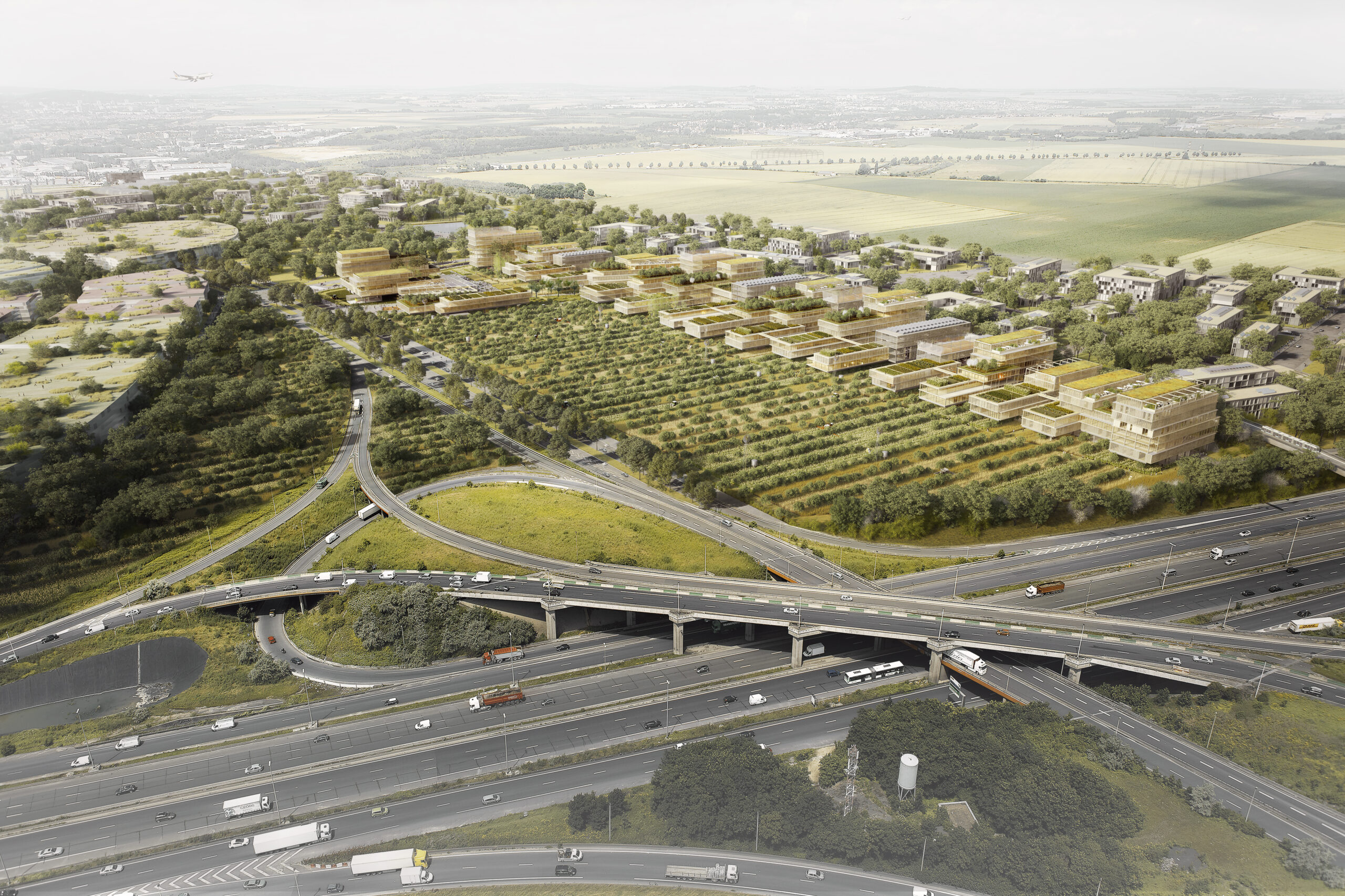
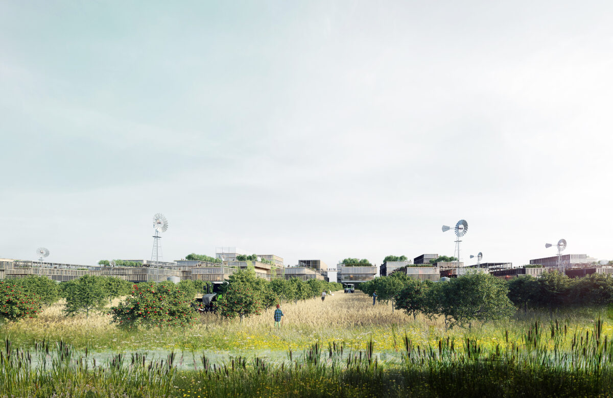
The Gonesse plateau has always been a fertile countryside at the gateway of Paris. Today, urban and industrial projects and linear infrastructures have partitioned this territory into so many urban isolates and have split up the agricultural territories, changing the identity of the place.
To recover this identity and preserve the Triangle de Gonesse as one of the most fertile lands in the world, the project had to develop around 4 main axes:
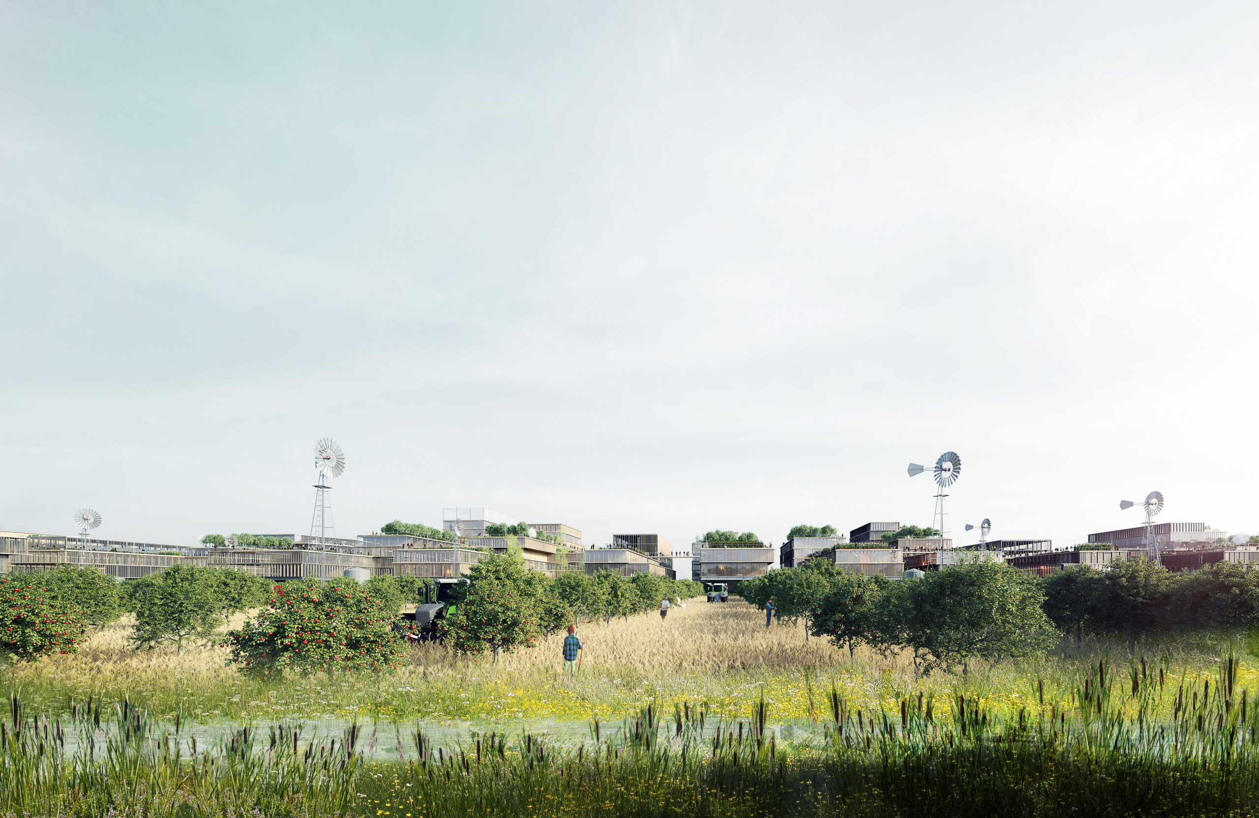
- Preserve the agricultural characteristic of the site by accompanying a soft and reversible urbanization and recover a viable economic and social model for the agricultural and wood industries.
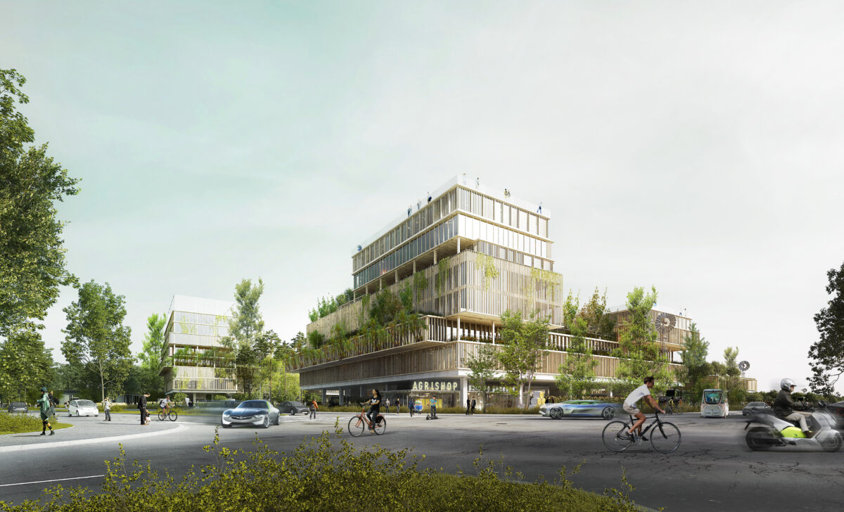
- Ensure an urban connection through innovative mobility.
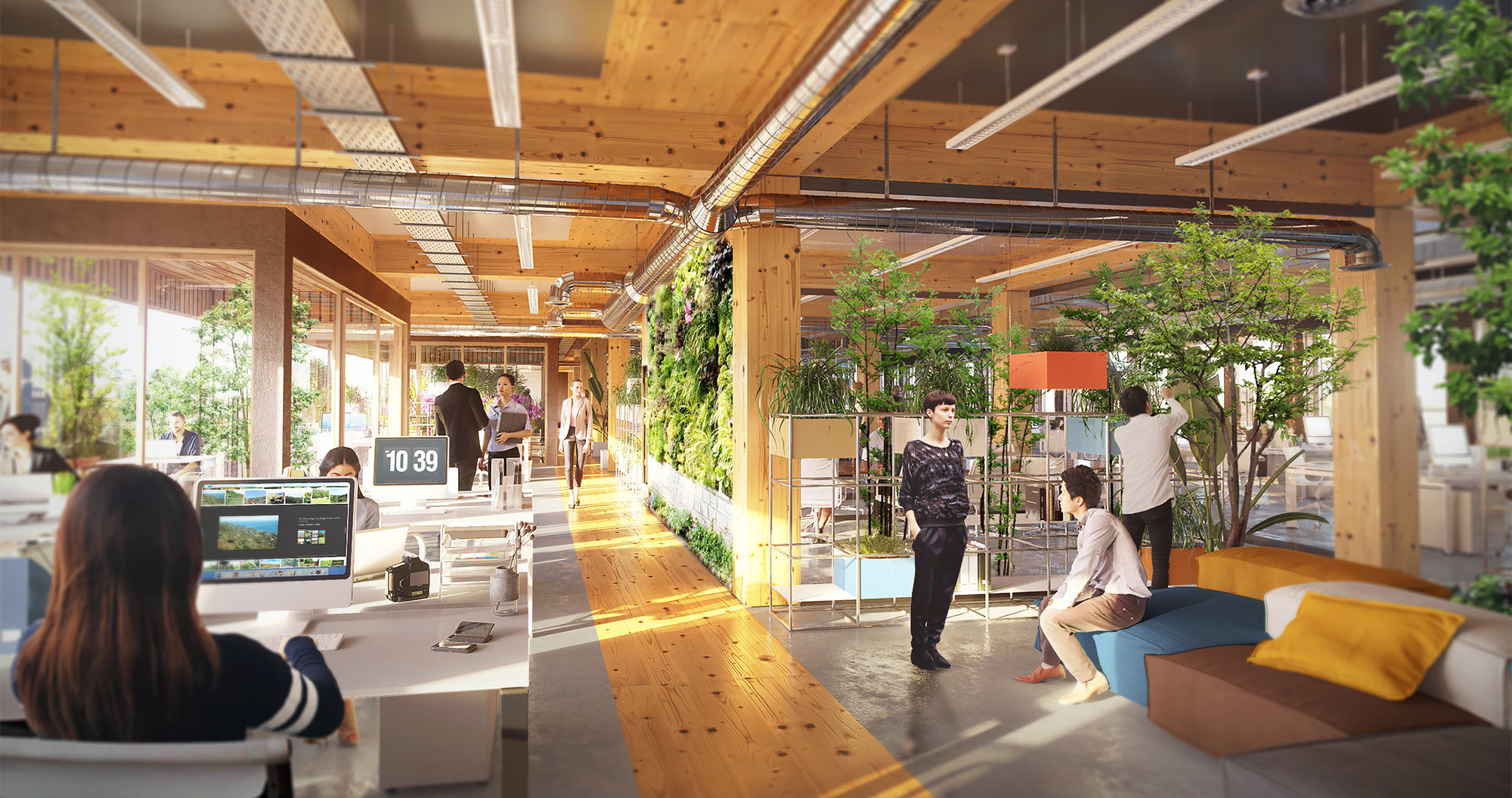
- Thinking about new uses for the development of the business district.
- To rely first on operating and user partners, which will then allow us to finalize with investors.
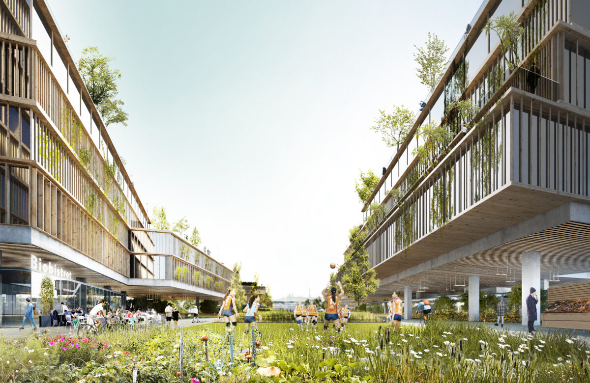
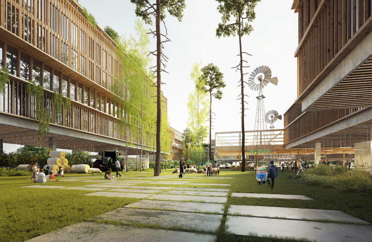
We proposed “slow biosourced development” with fewer roads, fewer sidewalks, less material, less expense, more vegetation, more humanity, more attention to water, more value added in the crops.
It was a question of imagining a new model of urban intensity, another way of doing development, which preserves and enhances the value of the soil, where the agricultural dimension brings the intensity of life that tertiary districts alone cannot provide.
From then on, the program was articulated around this centrality that has become urban agriculture and was developed in order to create a strong link and a short value chain between the creators of value that are the farmers and the consumers.